Mawnan’s sheltered coves lead Cornwall’s most popular walks this week
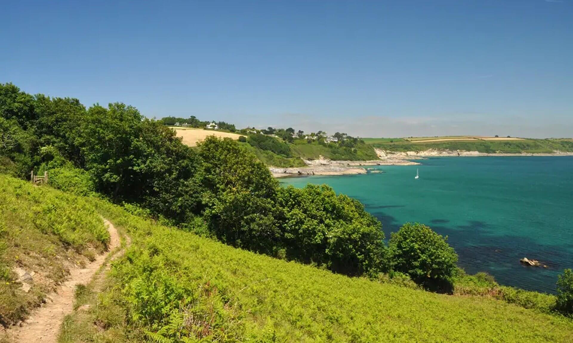
Three wooded valleys, a string of quiet coves and a wartime pillbox at the mouth of the Helford River. That is the walk Cornwall has been lacing up its boots for more than any other this week.
iWalk Cornwall has shared its most-walked routes for the week. This time the list runs from the Helford River and the creeks below Truro to the Hayle Valley, the top of Bodmin Moor and the old mining coast at St Agnes.
Every route here comes from the iWalk Cornwall app, which we rate highly. This is not a paid partnership. We just think it is one of the best ways to find new walks in Cornwall, with hand-written directions, GPS guidance and local history built into each route. Distances and grades are a guide rather than a promise, and the practical notes below come from iWalk Cornwall’s own route pages.
1. Mawnan
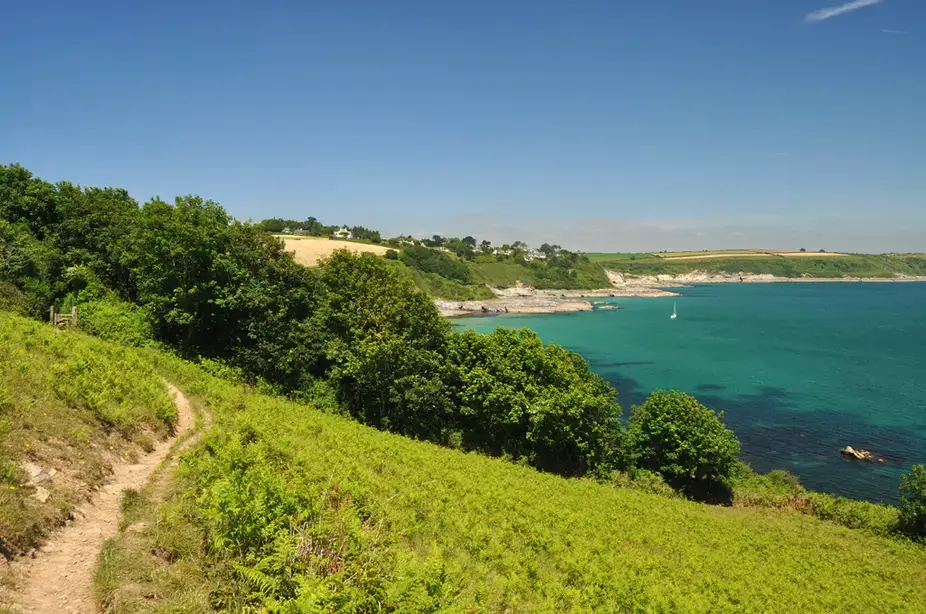
- Location: Mawnan, at the mouth of the Helford River near Falmouth, West Cornwall
- Dog-Friendly: Yes. Dogs are allowed all year on Porth Sawsen, Porthallack and Prisk Cove. One stile has stone footholds up a wall, and less athletic dogs may need a hand over it
- iWalk Cornwall Route: Mawnan
- Distance: 3.5 miles / 5.6 km
- Difficulty: Easy-moderate
- Highlights: Mawnan Church, Rosemullion Head, the WW2 pillbox at Porth Saxon, Bream Cove, the Nansidwell and Carwinion valleys, views across the Helford River and the Falmouth coastline
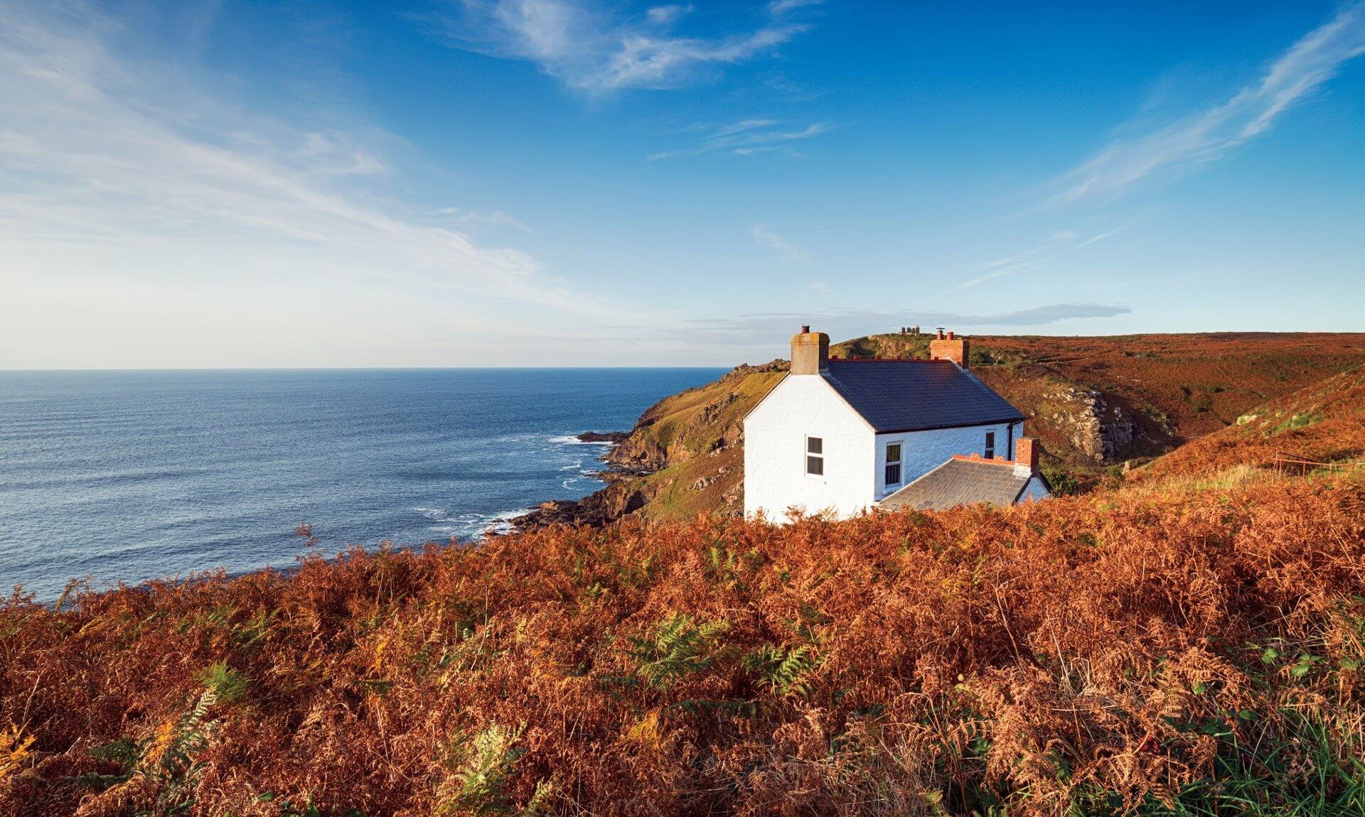
Walk Description: This circular route threads through three wooded valleys down to the sheltered coves at the mouth of the Helford, then picks up the coast path around Rosemullion Head, where marine wildlife is a regular sight. The historic Mawnan Church sits along the way, and fungi turn up in the valleys and near the church. Much of the coast path here runs close to unfenced cliffs, and the Helford River tide times are worth a look if you want time on the beaches. Sheltered valleys and quiet coves make it a good pick when the weather turns, which may go some way to explaining its place at the top this week.
2. St Clement and Malpas

- Location: St Clement and Malpas, near Truro, where the Truro and Tresillian rivers meet
- Dog-Friendly: Yes, with care. Three fields on the route are sometimes grazed by cattle. The only stile has a dog gate. The first flight of steps down to Sunny Corner is steel mesh, which some dogs struggle with, but a second, solid flight leads down to the quay a little further along the road
- Café: The Heron Inn, plus a café on or near the route
- iWalk Cornwall Route: St Clement and Malpas
- Distance: 3.8 miles / 6.1 km
- Difficulty: Easy-moderate
- Highlights: St Clement’s Church and its Ogham stone, St Clement’s holy well, Sunny Corner, Boscawen Park, creek views over Truro, curlews and other wading birds
Walk Description: This walk follows the river paths around the meeting point of the Truro and Tresillian rivers, taking in Boscawen Park, Sunny Corner and Malpas before heading to St Clement. The medieval church there holds a Celtic stone inscribed in Ogham, with a holy well nearby. The area was once defended by Moresk castle. Later, timber for the mines was unloaded here and floated into Truro as rafts. Be warned that it can get very muddy in winter, and iWalk suggests wellies at this time of year. Some paths are narrow, with plenty of tree roots to step over.
3. St Hilary and Hayle Valley
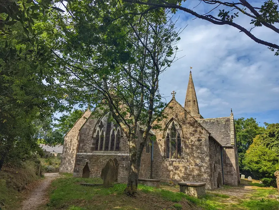
- Location: St Hilary and Relubbus, between Hayle and Penzance, West Cornwall
- Dog-Friendly: Yes. The only stiles are cattle-grid-style coffin stiles, and there are just three fields on the whole route
- iWalk Cornwall Route: St Hilary and Hayle Valley
- Distance: 5.4 miles / 8.7 km
- Difficulty: Easy-moderate
- Highlights: St Hilary Church, wildlife along the Hayle River and its ponds, lakes near Tregembo, heather at Penberthy Crofts, an optional visit to Guy’s Butterfly House (pre-booking recommended)
Walk Description: This one follows the Hayle River valley to St Hilary Church, through what was once an industrial landscape. Nature has since taken it back, and it is now woodland, heath, lakes and streams. Waterproof boots are recommended even in summer. In winter, one stretch of bridleway can become waterlogged, and the iWalk route page gives a bypass along the lane from the start that rejoins the route further on.
4. Rough Tor and Brown Willy
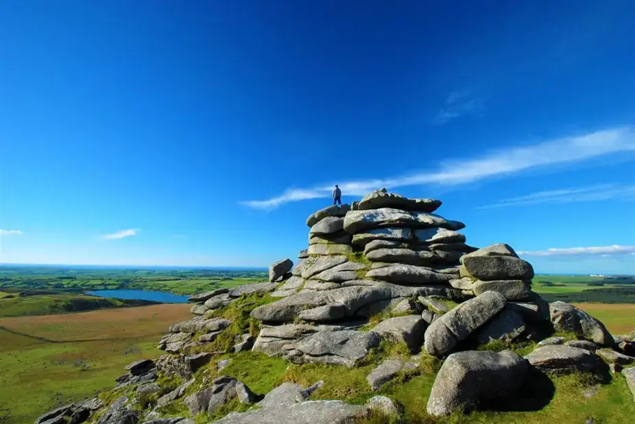
- Location: Bodmin Moor, near Camelford, North Cornwall
- Dog-Friendly: Yes, but be ready to lift. There are two stiles on the climb to Brown Willy. The first, beside a gate, is easier. The higher one is wired over, so dogs will need lifting to reach the summit. Sheep, cattle and ponies graze the open moor, and from 1 March to 31 July dogs must be on leads no longer than 2m to protect ground-nesting birds
- iWalk Cornwall Route: Rough Tor and Brown Willy
- Distance: 5.2 miles / 8.4 km
- Difficulty: Moderate-strenuous
- Highlights: Brown Willy (the highest point in Cornwall), Roughtor, Showery Tor, Fernacre Stone Circle, Roughtor Holy Well, Stannon Lake, Bronze Age hut circles and field systems
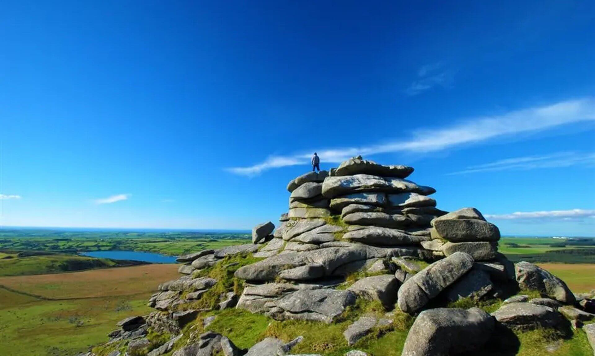
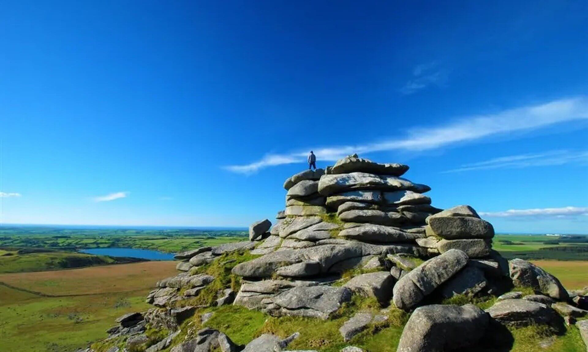
Walk Description: The toughest walk on this week’s list climbs the two tors that define Bodmin Moor. Roughtor is the moor’s most rugged and best-known tor, and Brown Willy is the highest point in Cornwall, with panoramic views from both summits. In between you’ll find weather-sculpted granite on Showery Tor, cairns, stone circles and other Neolithic remains, along with Bronze Age hut circles and enclosures. Expect to clamber over granite boulders near the top of Roughtor and on the way down into the valley between the two tors. The ground stays marshy even in summer, so boots are a must.
5. St Agnes Beacon and Wheal Coates
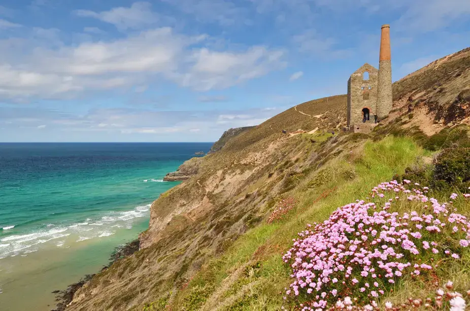
- Location: St Agnes, West Cornwall
- Dog-Friendly: Yes. There is just one stile, beside a gate, and one field is used for cattle
- Café: A café is listed on or near the route
- iWalk Cornwall Route: St Agnes Beacon and Wheal Coates
- Distance: 3.0 miles / 4.9 km
- Difficulty: Easy-moderate
- Highlights: Wheal Coates and Towanroath Engine House, St Agnes Beacon, St Agnes Head Coastguard lookout, Vugga Cave, coastal views towards Porthtowan and Portreath
Walk Description: The shortest walk on the list still packs a lot in. It runs between St Agnes Head and the engine houses of Wheal Coates, crossing St Agnes Beacon for a 360-degree view from the top. Along the coast path there is a calciner furnace, a chimney and a mineshaft right beside the path, all part of the area’s mining past. Heather, gorse and thrift line the paths through the seasons. Parts of the route run close to unfenced cliff edges, so keep an eye on dogs and children.
Plan your walk
Each route in the app comes with hand-written directions and GPS guidance that warns you if you wander off route. It works offline too, which matters out on the moor and down in the valleys where phone signal can disappear.
Again, this is not a paid partnership. The iWalk Cornwall app is free to download from the App Store and Google Play, and you buy the individual walks you want. The full collection runs to more than 300 routes across the county.
Share This Story, Choose Your Platform!
To keep up with the latest cornish news follow us below
Follow CornishStuff on Facebook - Like our Facebook page to get the latest news in your feed and join in the discussions in the comments. Click here to give us a like!
Follow us on Twitter - For the latest breaking news in Cornwall and the latest stories, click here to follow CornishStuff on X.
Follow us on Instagram - We also put the latest news in our Instagram Stories. Click here to follow CornishStuff on Instagram.
- 1
- 2
- 3
- 4
- 5
- 6





You Might Also Be Interested In





Discover More In Cornwall


Daily Cornish news by email
The latest daily news in Cornwall, sent direct to your inbox.