Falmouth to Welcome RV Cefas Endeavour After Major Seabed Survey
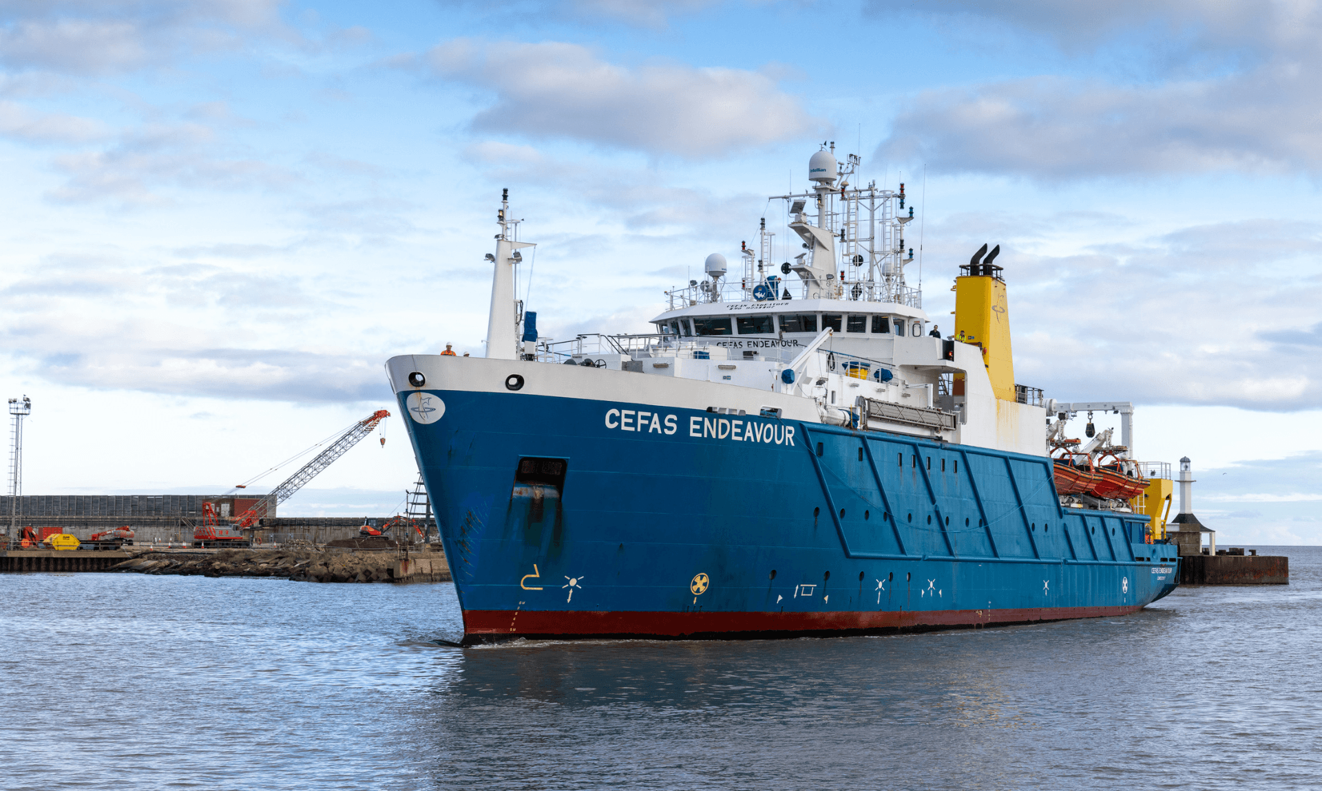
A four week mission mapping the seabed off the south-west coast will end in Falmouth next month, with 26 scientists from 11 government bodies on board a single research vessel.
The survey, called CSM2026, set sail from Lowestoft in Suffolk and is due to wrap up in Cornwall on 19th May. It is being run by the UK Centre for Seabed Mapping, a group of more than 30 public sector organisations that share marine data.
Researchers on board the Research Vessel Cefas Endeavour are gathering hydrographic, geological and environmental data using what the agencies describe as cutting edge survey technology. The work is split into two legs, beginning on 20th April and finishing in Falmouth on 19th May.
Your daily dose of Cornwall
News, events and goings on across the Duchy
A first for UK marine research
Eleven member organisations of the UK CSM are taking part, spanning the Maritime and Coastguard Agency, the UK Hydrographic Office, the British Geological Survey, Cefas, Defra, The Crown Estate, Historic England, the Joint Nature Conservation Committee, the Agri-Food and Biosciences Institute Northern Ireland, Natural England and the Royal Navy.
Andrew Colenutt, Chair of the CSM2026 Project Team and Head of Hydrography and Meteorology at the MCA, said it was the first survey of its kind in UK waters.
“This is the first time that such a large-scale, multi-agency, collaborative survey has been undertaken in the UK and it’s a really exciting venture,” Andrew said. “We are fortunate to have expert scientists and surveyors from across government who will collect a wide range of highly valuable data. The partnership approach provides opportunities to share knowledge and expertise, as well as providing invaluable training and offshore fieldwork experience.”
He added that the alliance is working under a “gather once, use many times” philosophy, designed to cut duplication across agencies.
What the data will be used for
According to the project team, the information collected will feed into offshore energy and infrastructure planning, marine ecosystem science, safety at sea, marine policy and defence.
Alison Pettafor, Cefas Oversea Territories Country Lead and Surveyor in Charge during the first leg, said the project could change how the UK approaches seabed research.
“This survey is an exciting opportunity and highlights the strength of UK Government organisations working together,” Alison said. “It clearly demonstrates the benefits of a ‘collect once, use many times’ approach, combining expertise, sharing data openly and building a clearer picture of our marine environment to support better decisions for the future.”
She described it as the most ambitious collaborative survey undertaken on RV Cefas Endeavour to date and said it could mark the beginning of a new era in how the seabed is mapped and understood.
Government backing
Marine Minister Emma Hardy linked the survey to wider efforts on marine protection.
“The UK is at the forefront of marine protection with a comprehensive network of 374 Marine Protected Areas, protecting more than 38% of our waters,” Emma said. “This survey is an excellent example of our work in partnership to improve our understanding of our maritime estate, providing data to deliver our commitments and make advances in how our seabed is mapped, understood and managed.”
Rear Admiral Angus Essenhigh OBE, UK National Hydrographer and Director of Data Acquisition at the UKHO, chairs the UK CSM Steering Committee.
“This joint survey is a fantastic example of what public sector collaboration can achieve when expertise, capability and purpose are aligned,” Angus said. “High quality seabed mapping underpins everything from safety at sea and environmental protection to sustainable development and supporting national security. Working together through the UK CSM allows us to maximise the value of data, share knowledge, and deliver insights that no single organisation could achieve alone.”
Your daily dose of Cornwall
News, events and goings on across the Duchy
How it is being funded
The survey is co-funded by the MCA through the UK’s Civil Hydrography Programme and Cefas through the Marine Protected Areas programme, with additional money from Defra’s Marine and Fisheries Research and Development Fund. Staff time for processing, validating and reporting the data is being covered in kind by the participating organisations from existing budgets, with no extra funding sought for that work.
The UK Centre for Seabed Mapping was set up in 2022 and is administered by the UKHO.
Read Next
- St Columb MajorIf you drove past the primary school in St Columb Major on Monday morning, there is a chance someone was checking your speed.
Share This Story, Choose Your Platform!
To keep up with the latest cornish news follow us below
Follow CornishStuff on Facebook - Like our Facebook page to get the latest news in your feed and join in the discussions in the comments. Click here to give us a like!
Follow us on Twitter - For the latest breaking news in Cornwall and the latest stories, click here to follow CornishStuff on X.
Follow us on Instagram - We also put the latest news in our Instagram Stories. Click here to follow CornishStuff on Instagram.
- 1
- 2
- 3
- 4
- 5
- 6