The Lizard, Kynance Cove and Cornwall’s most popular walks this week

The serpentine cliffs of the Lizard and the two rivers of St Erth have joined this week’s most-walked list, alongside a creek that inspired a Daphne du Maurier novel.
iWalk Cornwall has shared its most popular routes for the week. The list runs from the most southerly point of mainland Britain up to the World Heritage valley at Luxulyan, taking in the Hayle valley, the Helford creeks and the serpentine coast of the Lizard along the way.
Every route below comes from the iWalk Cornwall app, which we rate highly. It is not a paid partnership. We just think it is the best way to follow a Cornish route, with hand-written directions, GPS guidance and a wealth of local history packed into each walk. Distances and grades are a guide rather than a promise, and the practical notes come from iWalk Cornwall’s own route pages.
Your daily dose of Cornwall
News, events and goings on across the Duchy
1. Hayle Valley from St Erth
- Location: St Erth, near Hayle, West Cornwall
- Parking: Car park opposite St Erth parish church (confirm postcode)
- Dog-Friendly: Yes, and a good one in summer, being shady with river access for a cooling dip. There are stiles on the route, including steps over walls, so smaller or less athletic dogs may need a hand
- Café: Options in St Erth and nearby Hayle
- iWalk Cornwall Route: Hayle Valley from St Erth
- Distance: 3.5 miles / 5.6 km
- Difficulty: Easy-Moderate
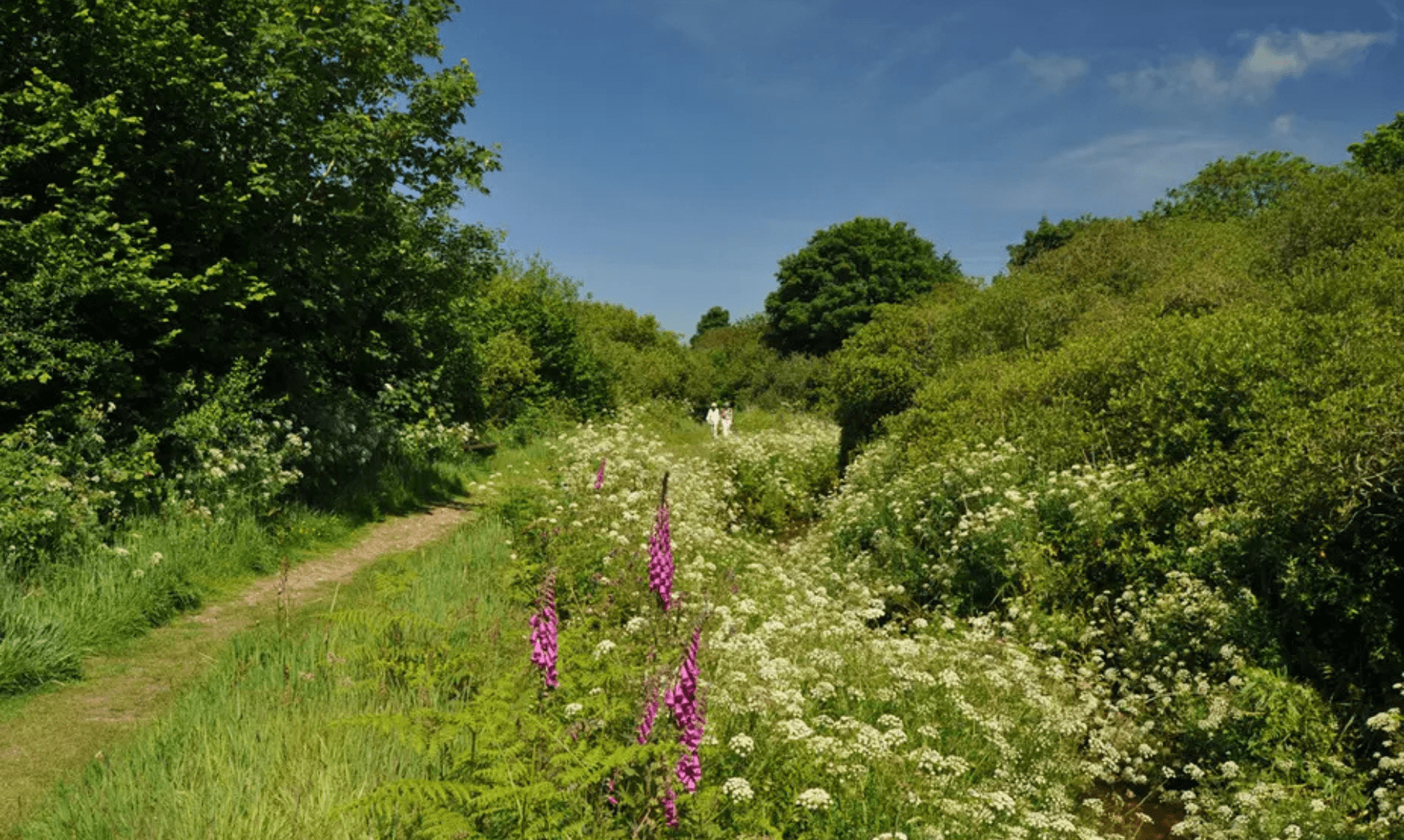
- Highlights: River Hayle riverbank, spring and summer wildflowers, Trennack Mill, views over the Hayle valley
Walk Description: A circular walk from St Erth along the River Hayle, lined with wildflowers in spring and summer, returning with views over the Hayle valley. That valley was once a lagoon, separating an island of West Penwith from the Cornish mainland. The riverbank path here was closed for a long spell after the bank collapsed, with no straightforward diversion, and has only recently reopened, which is likely why it keeps appearing near the top of the list.
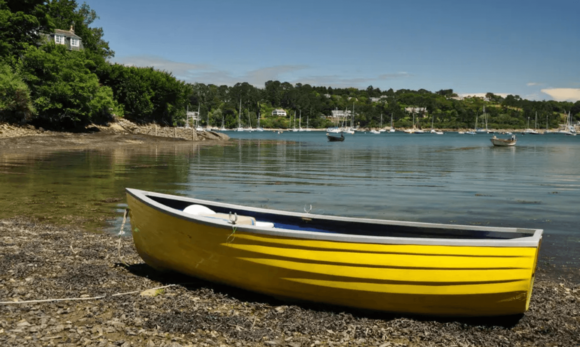
2. Helford and Frenchman’s Creek
- Location: Helford, near Helston, West Cornwall
- Parking: Helford village car park, above the village (confirm postcode)
- Dog-Friendly: Yes, with one stile, a flight of wooden steps, reported as tricky for larger dogs. Keep dogs on a lead just after Penarvon Beach, where there may be free-range chickens
- Café: A pub and café options in Helford village
- iWalk Cornwall Route: Helford and Frenchman’s Creek
- Distance: 3.8 miles / 6.1 km
- Difficulty: Moderate
- Highlights: Frenchman’s Creek, Helford River creekside woods, Penarvon Cove, Pengwedhen, Kestle Barton
Walk Description: A walk through the wooded valleys of the Helford River, taking in its most famous of all, Frenchman’s Creek. The creek is still as pristine as it was when it inspired the Daphne du Maurier novel of the same name. The short woodland loop at Pengwedhen includes a narrow path cut into a fairly steep bank, and the route passes Penarvon Cove and the old farmstead at Kestle Barton along the way.
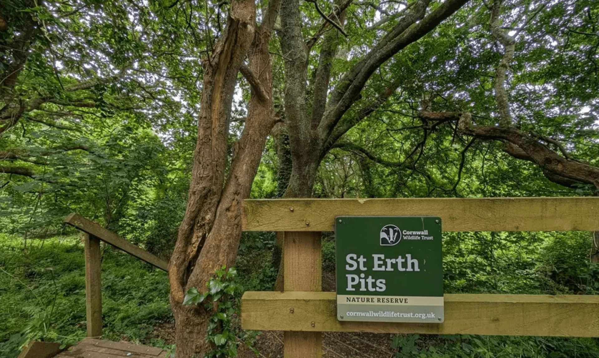
3. St Erth, River and Pits
- Location: St Erth, near Hayle, West Cornwall
- Parking: Car park opposite St Erth parish church (confirm postcode)
- Dog-Friendly: Yes, but with a good number of stiles. Most dogs can squeeze through the first wooden stile, the second can often be bypassed via a gate, and most will need help with the third. One stone stile is a 4ft wall with a foothold, which athletic dogs may manage but others will need a lift over
- Café: Options in St Erth and nearby Hayle
- iWalk Cornwall Route: St Erth, River and Pits
- Distance: 3.2 miles / 5.2 km
- Difficulty: Easy
- Highlights: River Hayle, St Erth Pits nature reserve, Porthcollum, woods and fields, views over the Hayle valley
Walk Description: A circular walk from St Erth along the River Hayle, through woods and fields to Porthcollum, then returning past the St Erth Pits nature reserve. The Pits are geologically important, and like the neighbouring Hayle Valley route the walk gives views over the valley that was once a lagoon, back when West Penwith was an island. It is the easiest walk on this week’s list, though there are a fair few stiles to negotiate.
Your daily dose of Cornwall
News, events and goings on across the Duchy
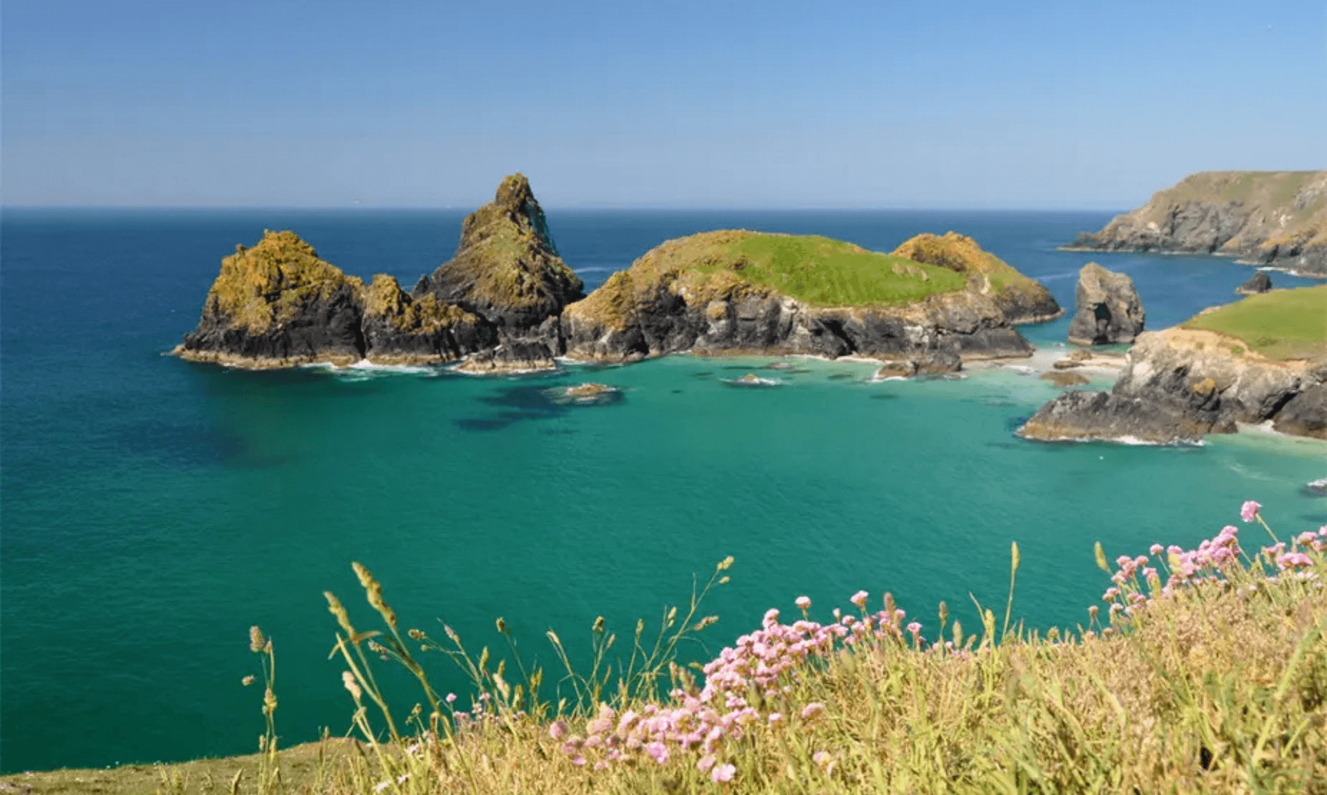
4. The Lizard and Kynance Cove
- Location: Lizard village, near Helston, West Cornwall, the most southerly point of mainland Britain
- Parking: Lizard village green car park (confirm postcode), or the National Trust car park above Kynance Cove
- Dog-Friendly: Yes, with stiles reported as OK for large dogs. Dogs are allowed all year at Polpeor Cove, while Kynance Cove has seasonal restrictions
- Café: Café at Kynance Cove, plus pubs and cafés in Lizard village
- iWalk Cornwall Route: The Lizard and Kynance Cove
- Distance: 4.4 miles / 7.1 km
- Difficulty: Moderate
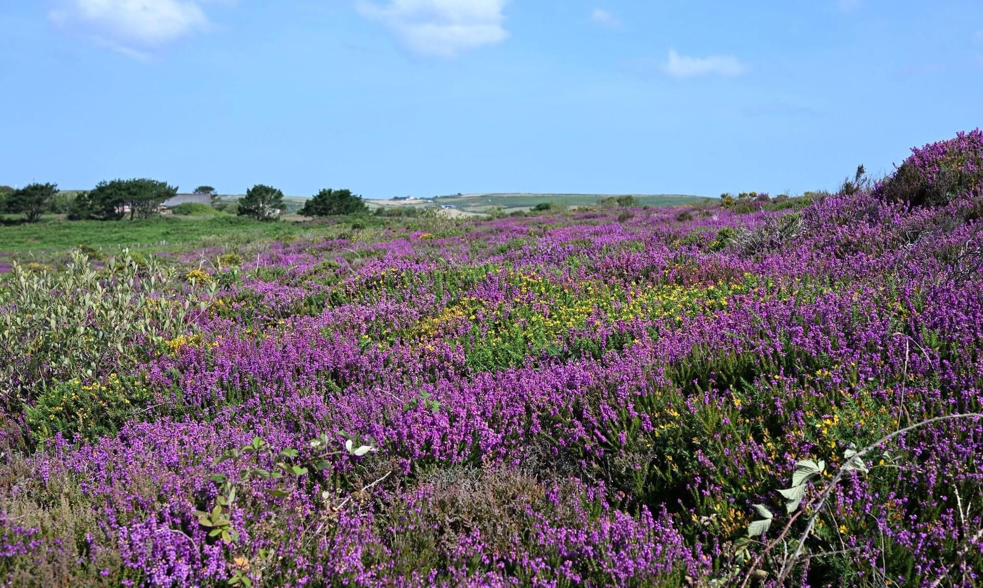
- Highlights: Lizard Point, Kynance Cove, serpentine cliffs, Cornish heath, wildflowers and Cornish choughs
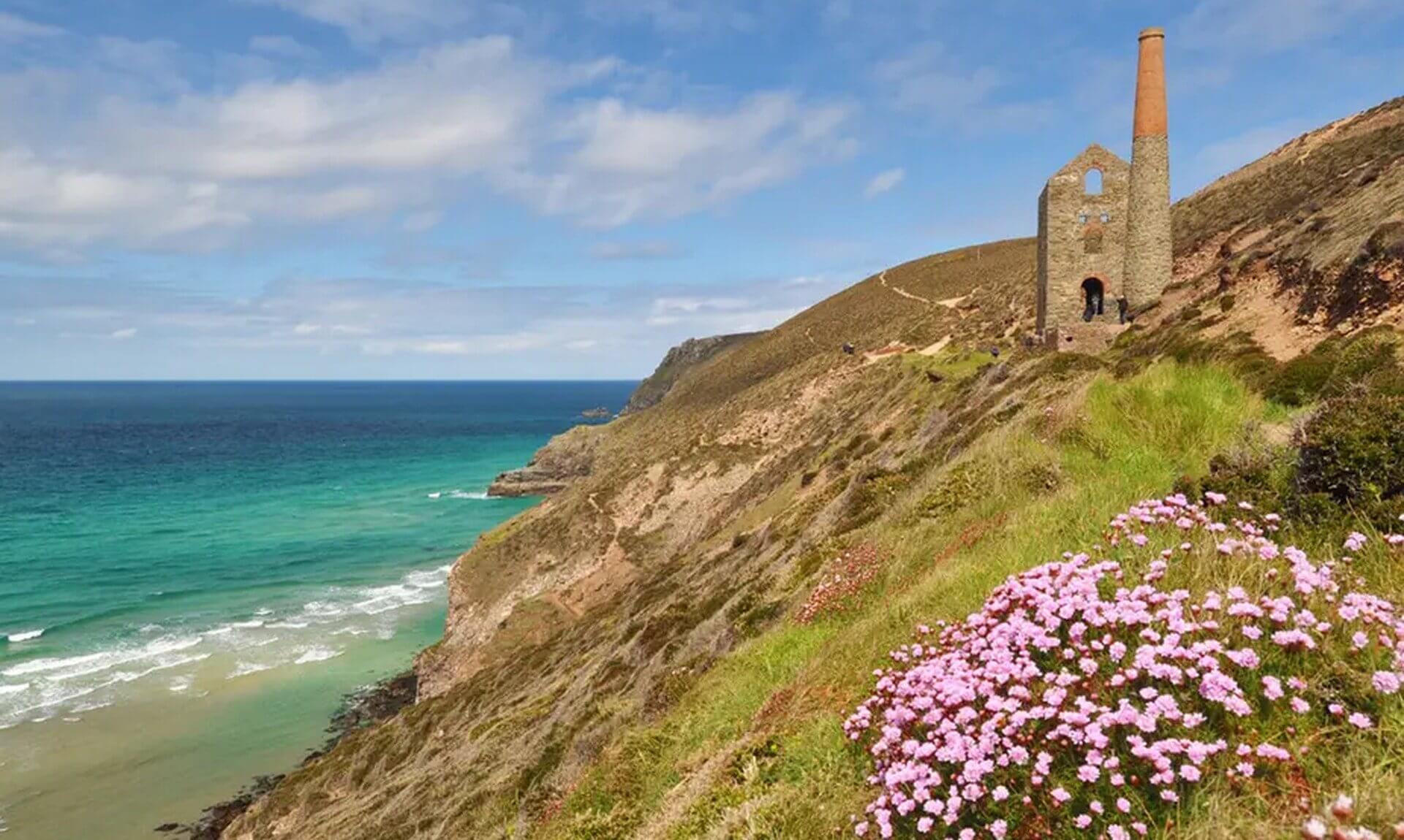
Walk Description: A circular walk following the old Victorian excursion route from Lizard village down to the most southerly point of mainland Britain, then along the coast path to Kynance Cove. The cove is one of the most photographed spots in Cornwall, its red and green serpentine rocks polished smooth by the sea. The route runs through rare Cornish heath with spectacular views and wildlife, including the Cornish chough, the bird that appears on the county’s coat of arms. Note that the walk down to Kynance Cove itself is steep.
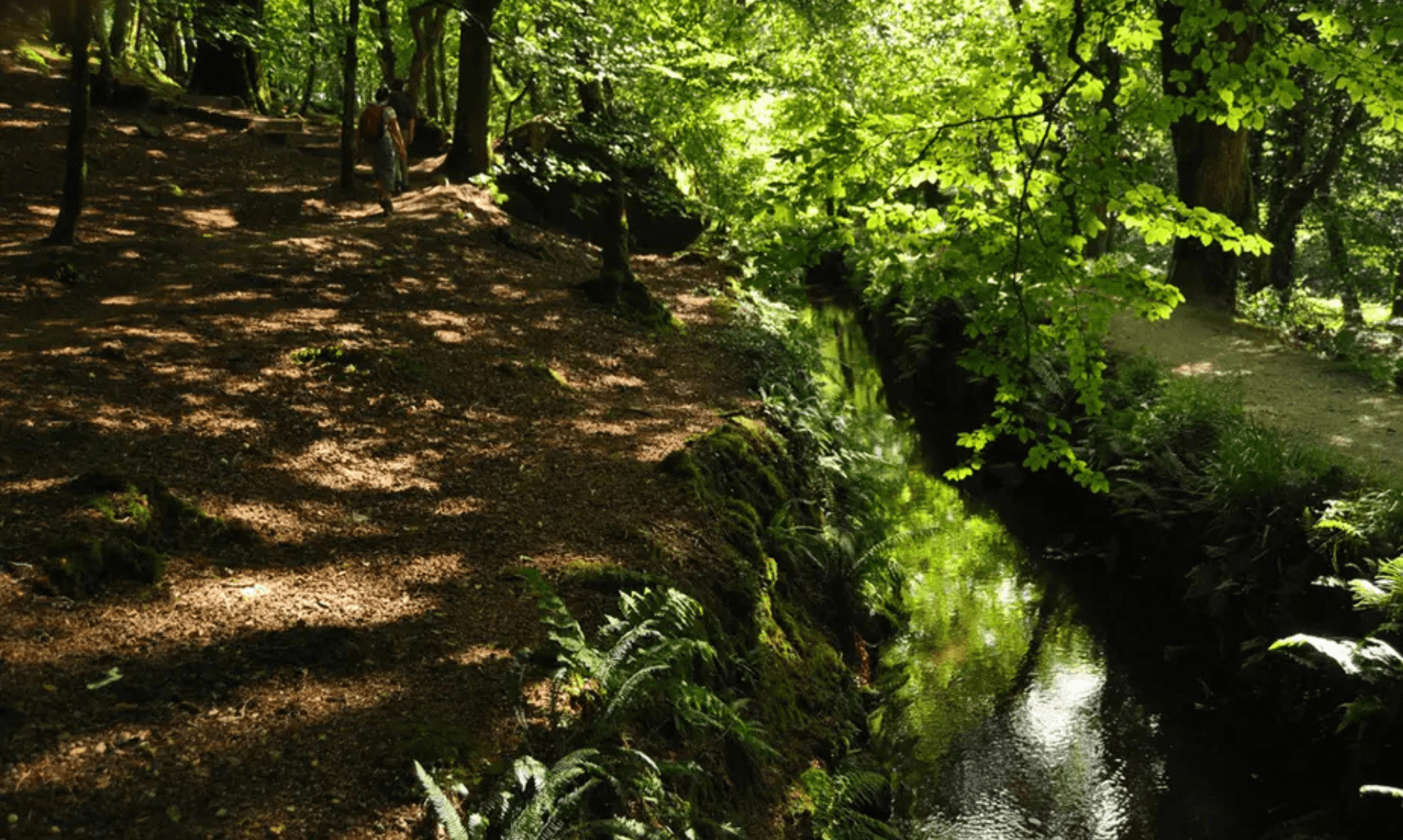
5. Luxulyan Valley circular
- Location: Luxulyan, near St Austell, Mid Cornwall
- Parking: Black Hill (Luxulyan Valley) car park, free (confirm postcode)
- Dog-Friendly: Yes. No stiles and no fields with livestock on the route, which makes it one of the easier walks for dogs
- Café: None in the valley itself, so take a flask. Options in Luxulyan village
- iWalk Cornwall Route: Luxulyan Valley circular
- Distance: 3.4 miles / 5.5 km
- Difficulty: Easy-Moderate
- Highlights: Treffry Viaduct, Carmears wheelpit and inclined plane, the leats and horse-drawn tramways, Carmears Wood, World Heritage site
Walk Description: A loop through the World Heritage site of the Luxulyan Valley following the old leats and horse-drawn tramways. From the Black Hill car park it climbs to the Treffry Viaduct, which once carried the tramway towards Newquay, then traces the trackbed to the wheelpit where a 30ft waterwheel hauled wagons up the inclined plane. The route follows the leat that powered the Fowey Consols mine, cuts through Carmears Wood and the Velvet Path, then drops back along the river beneath the viaduct. There are two short climbs, one near the start and one approaching Trethevy Wood. Guidebooks were recommending it back in the 1920s as “one of the most glorious walks in all Cornwall”.
Plan your walk
By following the routes on the iWalk Cornwall app you get hand-written directions, GPS guidance that warns you if you wander off-route, and a wealth of local history along the way. Once a walk is downloaded it keeps working with no phone or wifi signal, which matters on the parts of the coast where the bars on your phone vanish.
As we said, this is not a paid partnership. We just rate it. The app is free to download from the App Store and Google Play, and you buy the individual walks you want.
The full set runs to more than 300 routes across the county, so wherever you are, there is almost certainly one within reach.
Share This Story, Choose Your Platform!
To keep up with the latest cornish news follow us below
Follow CornishStuff on Facebook - Like our Facebook page to get the latest news in your feed and join in the discussions in the comments. Click here to give us a like!
Follow us on Twitter - For the latest breaking news in Cornwall and the latest stories, click here to follow CornishStuff on X.
Follow us on Instagram - We also put the latest news in our Instagram Stories. Click here to follow CornishStuff on Instagram.
- 1
- 2
- 3
- 4
- 5
- 6






You Might Also Be Interested In






Discover More In Cornwall

Daily Cornish news by email
The latest daily news in Cornwall, sent direct to your inbox.